


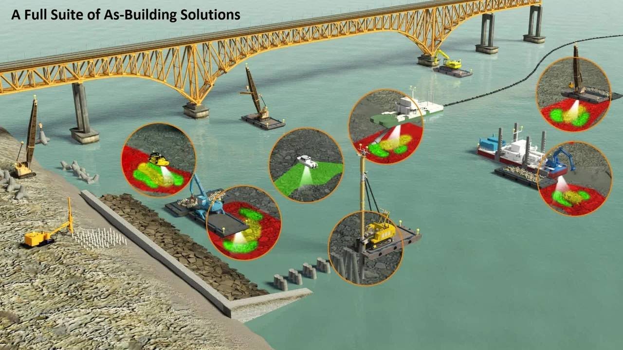
Introduction to Essential Marine Survey Solutions for Coastal Engineering Projects
Essential marine survey solutions for Coastal Engineering Projects play a critical role in the planning, design, and execution of modern coastal infrastructure. From shoreline protection systems to harbors, breakwaters, and offshore foundations, accurate marine data ensures that engineering decisions are safe, efficient, and environmentally responsible.
In today’s rapidly changing coastal environments, tides, erosion, sediment movement, and climate impacts make precise surveying more important than ever. This is why Essential Marine Survey Solutions for Coastal Engineering Projects are now considered a foundational part of any successful coastal development strategy.
What Are Marine Survey Solutions in Coastal Engineering?
Marine survey solutions refer to a combination of technologies and methodologies used to collect, analyze, and interpret data from underwater and coastal environments. These may include:
- Multibeam and single-beam echo sounders
- Side-scan sonar systems
- LiDAR bathymetry for shallow waters
- GPS and GNSS positioning systems
- Sub-bottom profiling tools
- Autonomous surface and underwater vehicles
When combined, these tools provide a detailed picture of seabed topography, sediment layers, and underwater obstacles, helping engineers design stable and resilient structures.
Importance of Accurate Data in Coastal Development
Coastal engineering projects demand extremely high precision because even small miscalculations can lead to structural instability or environmental damage. Reliable surveying ensures:
- Proper foundation design for marine structures
- Reduced construction risks and costs
- Improved environmental impact assessments
- Better prediction of coastal erosion patterns
- Compliance with regulatory standards
This is where Essential Marine Survey Solutions for Coastal Engineering Projects become indispensable, as they provide the high-resolution data needed to make informed engineering decisions.
Key Technologies Used in Marine Surveying
Modern coastal engineering relies heavily on advanced technology. Some of the most widely used systems include:
1. Sonar Mapping Systems
Sonar technology helps map underwater terrain with high accuracy, identifying depth variations and seabed features.
2. GNSS Positioning
Satellite-based positioning ensures precise location tracking for survey vessels and equipment.
3. Autonomous Survey Vessels
Unmanned surface vehicles (USVs) allow for safer and more efficient data collection in hazardous waters.
4. 3D Seabed Modeling
Advanced software converts raw survey data into detailed 3D models for engineering analysis and design.
Together, these innovations strengthen Essential Marine Survey Solutions for Coastal Engineering Projects, making them more accurate and efficient than ever before.
Applications in Coastal Engineering Projects
Marine survey solutions are used across a wide range of coastal engineering applications, including:
- Construction of ports and harbors
- Offshore wind farm development
- Coastal defense structures like seawalls and breakwaters
- Beach nourishment and restoration projects
- Underwater pipeline and cable installation
In each of these applications, Essential Marine Survey Solutions for Coastal Engineering Projects ensure that engineers have the precise environmental data required for safe and sustainable construction.
Benefits of Using Advanced Marine Survey Solutions
Adopting modern survey techniques provides several long-term benefits:
Improved Project Accuracy
High-resolution data reduces design errors and improves structural reliability.
Cost Efficiency
Early detection of seabed issues helps avoid expensive construction delays and redesigns.
Environmental Protection
Accurate mapping minimizes ecological disruption and supports sustainable development.
Enhanced Safety
Understanding underwater hazards reduces risks for construction teams and marine operations.
These advantages highlight why Essential Marine Survey Solutions for Coastal Engineering Projects are now a standard requirement in the industry.
Future Trends in Marine Surveying for Coastal Engineering
The future of marine surveying is being shaped by automation, artificial intelligence, and real-time data processing. Emerging trends include:
- AI-powered seabed analysis
- Fully autonomous survey fleets
- Cloud-based data sharing and collaboration
- Real-time 3D mapping during construction
- Integration with digital twin technology
These advancements will further enhance Essential Marine Survey Solutions for Coastal Engineering Projects, making coastal engineering faster, safer, and more sustainable.
Conclusion
As coastal infrastructure demands continue to grow, the need for precise and reliable surveying becomes increasingly important. Essential Marine Survey Solutions for Coastal Engineering Projects provide the foundation for accurate planning, safe construction, and long-term environmental resilience.
